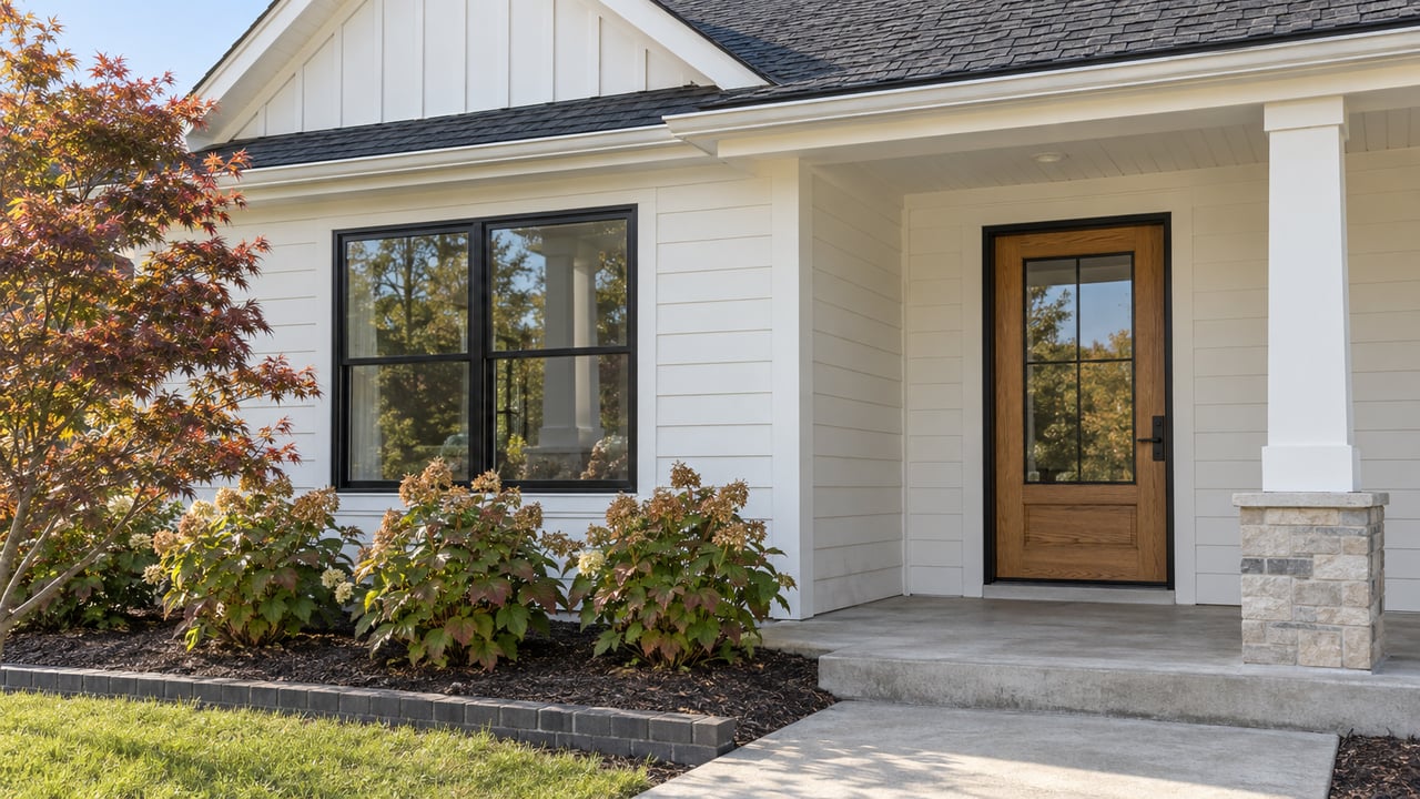
As Sardis Lake Drops Toward Winter Pool, Lochlan's Lake Weekends Move From The Ramp To The Trail
October 8, 2026
October 8, 2026
"The neighborhood derives its name from its proximity to the lakes." That line comes from Russom Construction, which built Lochlan. The same description puts the subdivision about three miles from a boat landing. The builder doesn't name the lakes. For a 62-acre development of 16 estate lots off County Road 103, though, the large one nearby is Sardis Lake, and getting to it is the main thing the location offers.
The lake keeps a calendar, though. Each fall the U.S. Army Corps of Engineers lowers Sardis on purpose. The ramp that works fine in early October may stop working before winter. Over the same months, the forested land around the south shore turns into one of the most usable places near Oxford.
Sardis is bigger than most people picture. The Corps describes the project as 98,000 acres across Panola, Lafayette and Marshall counties. That includes a 32,000-acre upper lake at summer pool and a 425-acre lower lake below the dam.
The upper lake is the part that changes. The Corps' Vicksburg District calls the Sardis drawdown a normal process that "begins each August." It lowers the water through late summer and fall to a winter pool of 236.0 feet. That description comes from a 2023 Corps release. Treat 236 feet as the usual target, not a promised level for any particular date this year.
Where the lake sits right now is easier to pin down. The Corps' live Sardis Lake plot for September 29 through October 4, 2026 shows the pool at about 250 to 251 feet. That leaves roughly 15 feet between this week's level and the winter target. Those 15 feet decide which ramps stay open.
The Corps publishes a table giving the highest and lowest lake level each Sardis ramp can handle. Below the lower number, the concrete no longer reaches the water. For anyone launching from the Lafayette County side, these are the figures to know:
| Ramp | Upper end | Lower end |
|---|---|---|
| Clear Creek | 275.25 ft | 237.25 ft |
| Hurricane Landing No. 1 | 269.00 ft | 258.80 ft |
| Hurricane Landing No. 2 | 262.00 ft | 249.40 ft |
| Hurricane Landing No. 3, Indian Mound | 250.00 ft | 240.00 ft |
| Engineer Point, Low Water | 265.00 ft | 234.00 ft |
| Pat's Bluff | 277.40 ft | 234.00 ft |
| Coles Point | 269.00 ft | 234.00 ft |
Clear Creek is the closest Corps access along Lochlan's side of town. Recreation.gov's directions run north from Oxford on Highway 314, also called Old Sardis Road, for about eight miles. The listing puts it within 15 minutes of Oxford. Its single ramp handles a 38-foot range of water levels, which covers nearly the whole drawdown. It still bottoms out at 237.25 feet, a little more than a foot above the 236-foot winter target. If the lake reaches its usual winter level, Clear Creek runs out of ramp just before the lake does.
Hurricane Landing, near Abbeville at the east end of the south shore, handles the drop differently. It has three ramps set at different heights, so a new one comes into range as the water falls. At this week's level of about 251 feet, the No. 1 ramp is already above the water's edge and No. 2 is near its own floor. Indian Mound, the lowest, works down to 240 feet. Recreation.gov describes Hurricane as offering launches at both high and low water. The Corps table still puts its lowest ramp four feet above winter pool.
On the upper lake, only three ramps in the table reach down to 234 feet: the Engineer Point low-water ramp, Pat's Bluff and Coles Point. Frank Walker Landing sits on the Tallahatchie River, not the lake. The Corps notes the river runs higher than the lake there, so boats can launch even when the lake is low.
Clear Creek's ramp also has a recent history. The Corps reopened it on May 8, 2024, after replacing concrete where the ramp surface had collapsed. At that time it said repairs to the parking lot were still underway.
From now through December, the ramp table is worth checking against the live gauge before any trip. A short routine covers it:
The Corps posts these elevations as launching guidance, not a promise. Wind, silt and how the water sits on a given ramp can all matter on the day.
One nearby option has been off the list all year. Puskus Lake is a separate 96-acre Forest Service lake about seven miles east of Oxford off Highway 30, with its own boat ramp and fishing piers. As of its April 2, 2026 update, the Forest Service page listed the site as closed due to winter-storm damage, with no reopening date.
Clear Creek offers more than a ramp. The Corps lists a mountain bike trail, 68 picnic sites and two pavilions there. None of that depends on where the water sits. When the ramp gets tight late in the season, the woods around it keep working.
The Clear Creek Mountain Bike Trail is singletrack through the forest at Clear Creek Landing. Sources measure it differently. Ride Oxford describes a 13-mile outer loop with shortcuts that make 11-, 9- and 3-mile rides. Trailforks maps the named trail at 11.3 miles and calls it fast and flowing, with climbs and switchbacks. MTB Project adds rolling hills and small obstacles.
The timing is good this fall. Trailforks reports from May 22 and June 10, 2026 mentioned trees down that riders couldn't move without a saw. On September 28, 2026, a report said the trail crew had "cleared the rest of the trees" and the whole loop was "open and riding great." The trail's status that day was listed as Ideal. The broader Clear Creek Landing region page carried a Caution label on the same date. Check the live status before heading out.
Volunteers keep the trail in shape. Trailforks lists Oxford Cycling as the local trail association, and Ride Oxford says a volunteer crew regularly maintains and improves its trails. The trail also draws racers. The Mississippi NICA league held a Clear Creek race on March 15 and 16, 2025, and again on March 7 and 8, 2026.
Camping and swimming are more limited. Recreation.gov currently shows 19 open Clear Creek campsites with water and electric hookups, flush toilets and showers. It also notes that much of the campground is closed and the open sites are in the back section. The Corps' static page lists more sites than that, so check Recreation.gov for current availability. Swimming isn't part of the Clear Creek plan. The Corps lists no designated beaches on the upper lake, and its three beaches are all on the Lower Lake.
The same Corps land that holds the trail and picnic areas is open for hunting, and the main deer archery season opened October 1. Under the Corps' 2026–2027 Sardis hunting regulations, hunting and the trapping of furbearers are allowed on project lands and waters unless posted closed. Hunters need a valid Mississippi license. Hunting is banned within 1,000 feet of dams, buildings, construction sites and public-use areas unless the area is marked otherwise.
The Corps schedule for this season:
Families with young hunters have a deadline coming up. A September 29, 2026 Corps notice is taking applications for youth deer hunts at the Sardis Waterfowl Refuge on November 7 and 8 and December 4 through 6, 2026. Applications are due by 3:00 p.m. on October 21, 2026.
That calendar overlaps with the drawdown. The long archery season opened October 1, the same week the lake sat around 251 feet. Duck season's long final stretch starts in December, when the usual drawdown should have the pool much closer to 236. The weeks when the Clear Creek ramp is most likely to be near its floor are the same weeks the surrounding land is busiest with hunters. Wearing bright colors on the trail and knowing the 1,000-foot buffer around public-use areas both make sense this time of year.
Living a few miles from Sardis means tracking the lake through the year, from the boat-ramp months into trail-and-woods season. If you'd like to talk about land, acreage or a home near the lake, Matthews Real Estate knows the north side of Lafayette County and is glad to help. Talk with a local real estate expert.
This article is general information, not legal, tax or financial advice. Consult a qualified professional about your situation.
Stay up to date on the latest real estate trends.
We pride ourselves in providing personalized solutions that bring our clients closer to their dream properties and enhance their long-term wealth. Contact us today!