Leave a Message

Thank you for your message. We will be in touch with you shortly.

Oxford Land Trends: Where Development Is Heading

February 12, 2026

If you follow the sewer lines, you can often predict Oxford’s next neighborhood. Whether you own land in 38655 or plan to buy acreage, it helps to understand what unlocks value here. In this guide, you will learn how utilities, zoning, transportation plans, and public approvals shape what gets built and where. You will also get a simple checklist to spot early signals so you can move with confidence. Let’s dive in.

What drives growth in Oxford

Oxford’s long-term demand comes from a few consistent anchors. The University of Mississippi, the downtown Square, and regional connectivity create steady pull for housing, rentals, retail, and services. When you combine those drivers with access to infrastructure, you get a clear picture of where development is most likely to go next.

Proximity to Ole Miss tends to support higher rents and faster absorption for multifamily and student-focused housing. Areas with strong traffic counts and visibility near established neighborhoods often attract neighborhood retail and service uses. Together, these patterns help you focus your search on corridors that already have people and access.

City limits, ETJ, and county

In Oxford, jurisdiction is a first filter. Inside the city limits and its extraterritorial jurisdiction, zoning and design standards, plus municipal water and sewer, allow denser residential, mixed-use, and commercial projects. Outside city control in Lafayette County, septic systems and county rules usually mean larger lots and lower densities.

Confirming whether a parcel sits inside the city, the ETJ, or unincorporated county helps set expectations. It affects allowable uses, setbacks, and the timelines for approvals. It also sets the stage for how you will serve the site with utilities.

Utilities lead the market

Sewer and water access

Access to municipal water and sanitary sewer is the single biggest factor in whether a site can support subdivisions, multifamily, or commercial uses. Where the city has extended lines or has capacity, you tend to see plats, rezonings, and permits follow. If a parcel is near an existing service boundary or a planned extension, that is a strong signal of future activity.

For value, a utility extension agreement or a clear capacity statement can be a near-term multiplier. These documents reduce uncertainty and shorten timelines. They also create a path to denser, higher-value uses.

Septic and soil limits

In unserved areas, septic feasibility drives lot yield and layout. Soil type, percolation rates, and drainfield size can limit how many homes you can build. Checking soils and septic rules early helps you avoid assumptions that do not pencil out.

When soils or slopes are challenging, expect larger lots and higher site costs. That pushes projects toward rural residential patterns rather than denser subdivisions.

Corridors and project types to watch

New residential subdivisions

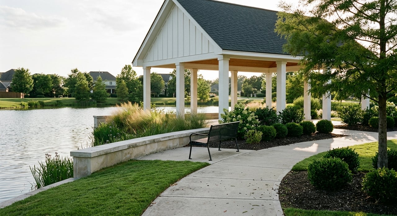
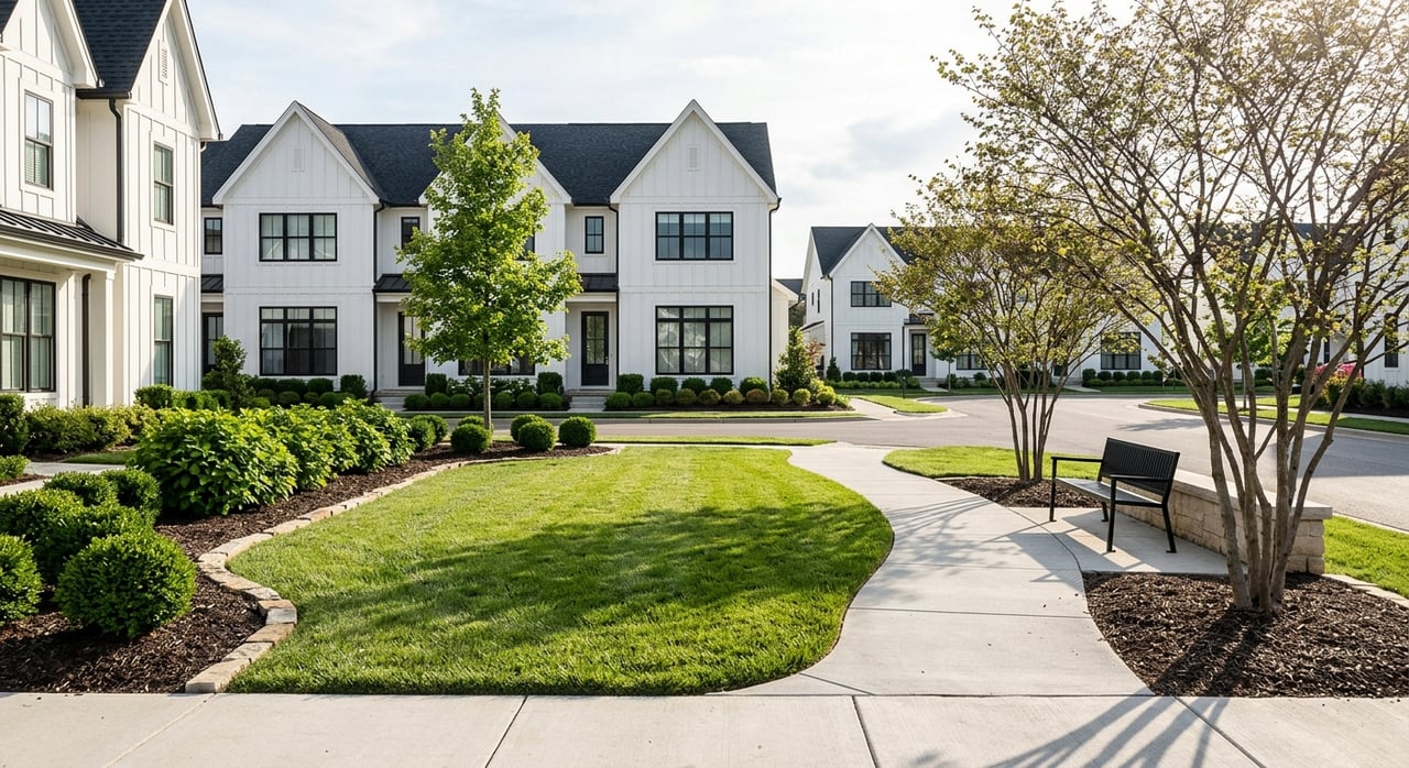
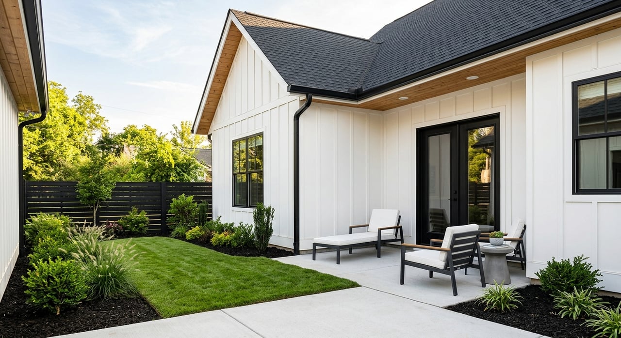
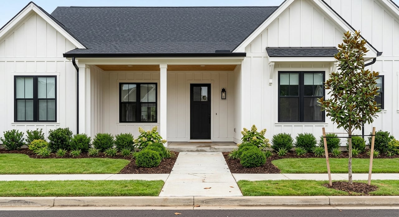
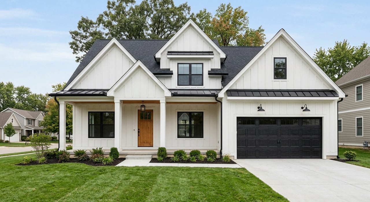
Look to edges of existing service areas or corridors where the city has recently extended utilities. Preliminary and final plats, subdivision improvement agreements, and performance bonds are telltales that lots will follow. Nearby schools and major employment nodes, including Ole Miss, also support steady demand for single-family neighborhoods.

Multifamily and student-oriented rentals

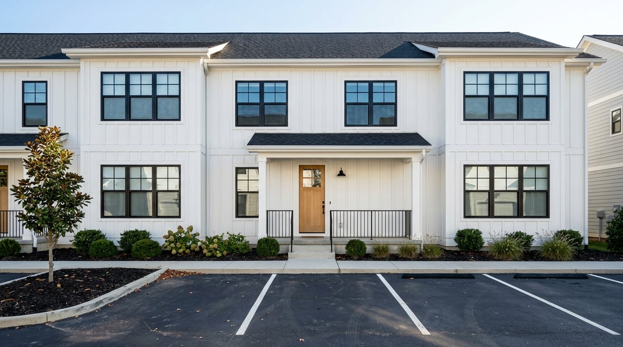
Multifamily gravitates to near-campus areas and high-visibility corridors with strong traffic counts. Conditional use permits and site plans in public agendas are early markers. University enrollment trends and housing plans are useful context when you evaluate long-term rentability and absorption.

Commercial and retail nodes

Neighborhood retail follows rooftops, traffic, and intersection visibility. Rezonings to commercial or planned commercial, plus traffic impact studies, signal that a node is forming. Grocery-anchored centers, service retail, and medical or professional uses tend to target these spots.

Downtown and infill mixed use

Zoning that allows mixed use, plus walkability goals and any downtown programs, can open doors for infill. Overlay districts and design guidelines shape what is possible, including height, massing, and materials. Watch for conditional use approvals and site plans that fit these rules.

Large‑tract assemblies

When you see repeated lot splits, new HOA or master plan documents, or public presentations outlining a community concept, assembly is underway. These moves often precede phased development over several years. They can also indicate future annexation or utility coordination discussions are in play.

Early signals a parcel is about to change

  • Rezoning petitions or map amendments that request higher density or commercial use.
  • Preliminary plats recorded with infrastructure guarantees or bonds.
  • Utility extension agreements or “will‑serve” letters for water or sewer.
  • Site plans, conditional use permits, and traffic studies filed for a corridor.
  • Building permit clusters by subdivision name in recent logs.
  • Announced road projects in state or regional programs that change access.
  • University capital projects or enrollment updates that affect rental demand.

Risks that stall projects

  • Floodplains and wetlands. FEMA maps and agency rules can reduce buildable acreage and add mitigation costs, like elevation or detention.
  • Soils and septic. Unsuitable soils or limited drainfield areas can cap yields for county projects.
  • Transportation access. State access permits, turn lane and concurrency requirements, or road widening can add time and budget.
  • Annexation and politics. Annexation actions and public hearing feedback can delay or reshape proposals. Approvals need formal ordinances or recorded plats.
  • Overlay zones and design standards. Historic districts or gateway overlays can set architectural rules and limit height or footprint.
  • Impact fees and obligations. Municipalities differ, so confirm whether Oxford requires off‑site improvements or uses development agreements.

What this means for you

If you own land in 38655

  • Confirm jurisdiction and zoning early. City, ETJ, or county status sets your path.
  • Map utility proximity and capacity. A clear statement from utilities can change buyer interest.
  • Screen for constraints. Use floodplain resources and soils data to spot limits fast.
  • Consider entitlements. A rezoning or preliminary plat can raise value by reducing uncertainty.
  • Track annexation talk. Annexation can unlock utilities and density if it fits the city’s plan.

If you plan to buy land

  • Choose your play. For shorter timelines, target serviced or entitled sites. For longer upside, look near planned capital improvements or corridors with consistent permits.
  • Watch public records. Planning Commission agendas, Board minutes, and permit logs point to hot spots before comps reflect it.
  • Budget for process. Permitting, site work, drainage, and any required road improvements often drive the schedule and the pro forma.

If you are a small developer

  • Engage early with planning staff and utilities. Capacity and standards shape feasibility.
  • Line up a civil engineer who knows local requirements. Site work and stormwater details matter.
  • Prepare for traffic and access. On larger sites, a traffic impact study or turn lane improvements may be required.
  • Phase wisely. Record plats and install infrastructure in steps to match absorption.

A simple 38655 growth checklist

Use this weekly or monthly to stay ahead of the curve:

  • Scan Oxford Planning Commission and Board of Aldermen agendas and minutes for rezonings, plats, annexations, utility extensions, site plans, and conditional uses.
  • Check Lafayette County Board and Chancery Recorder filings for new plats and lot splits outside city limits.
  • Review building permit logs for clusters of single‑family, multifamily, and commercial permits by subdivision or corridor.
  • Monitor state and regional transportation lists for Lafayette County to see planned road improvements and access changes.
  • Follow University of Mississippi announcements about enrollment and capital projects that support housing and retail demand.
  • Screen candidate parcels with FEMA flood maps and NRCS soils to estimate buildability and septic feasibility.

How to compare two candidate tracts

When two parcels look similar on price, use these filters to decide where to dig deeper:

  • Utility status. A parcel with a clear path to water and sewer usually wins.
  • Public approvals. Active or recent rezonings and plats nearby reduce risk.
  • Access and visibility. Arterial frontage and clean access permit potential are positives.
  • Constraints. Fewer floodplain or soils issues mean lower site costs and faster timelines.
  • Surrounding momentum. Consistent permits or nearby projects suggest stronger absorption.

Putting it all together

Oxford’s growth follows a simple pattern. Demand centers like Ole Miss and the Square create steady pull, but utilities and access decide what gets built. If you track public records for rezonings, plats, and utility extensions, and you watch transportation and university news, you can see shifts early and position yourself ahead of the market.

If you are ready to evaluate a parcel or weigh options for selling land with the right preparation, let’s talk. You will get clear, locally grounded advice and professional marketing that fits your goals. Connect with Cherie Matthews to start a focused conversation about your land or development plans in 38655.

FAQs

What areas of Oxford are most likely to see new subdivisions?

  • Parcels near existing municipal water and sewer, especially along arterial corridors or just outside current service boundaries, tend to see preliminary plats and new lot activity.

How can I tell if my land can support multifamily in Oxford?

  • Check jurisdiction and zoning, confirm water and sewer capacity, and scan recent Planning Commission agendas for similar approvals in your corridor to gauge feasibility.

How do sewer and water access affect land value in 38655?

  • Utility access is often the biggest near‑term value driver, since it enables higher density and reduces uncertainty for buyers and builders.

What public approvals should I watch before buying land?

  • Focus on rezonings, conditional use permits, preliminary and final plats, and any utility extension agreements or “will‑serve” letters that signal momentum.

How do floodplains and soils impact a project in Lafayette County?

  • Floodplain or wetlands can reduce usable acreage and add mitigation costs, while soils and septic feasibility determine lot yields in unserved areas.

Where can I find early signals of change for a corridor in Oxford?

  • Review city and county agendas and minutes, building permit logs, transportation project lists, and university announcements for consistent activity and upcoming improvements.

Work With Us

We pride ourselves in providing personalized solutions that bring our clients closer to their dream properties and enhance their long-term wealth. Contact us today!